About Mapping Together
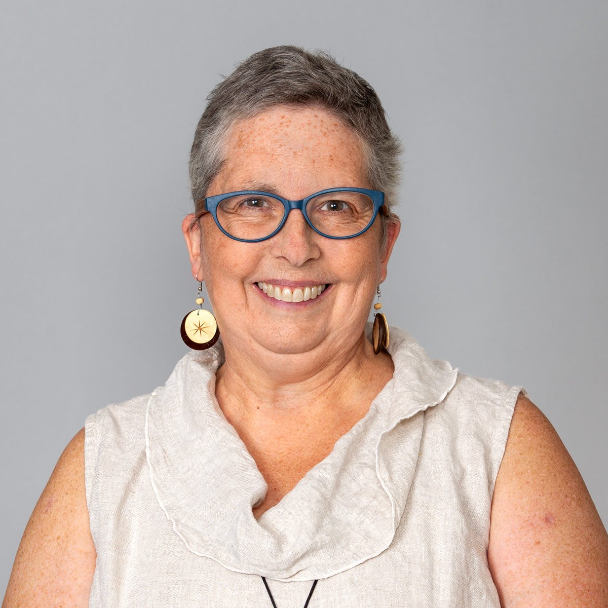
Shana Crosson: Lead Consultant
Shana’s focus is on using geospatial technologies into our everyday world. How can we use these tools to help us see the world differently? To answer questions and help us ask questions we never knew we had! Since first finding geographic information systems in 2015, Shana has seen GIS as a technology that can have significant impact on how we study, interpret and communicate about the world.
Most recently, Shana worked as a Spatial Technologies Consultant in U-Spatial at the University of Minnesota, working to teach everyone about how to use GIS. She worked with K12 teachers, faculty and grad students at the University level as well as GIS professionals. At the UMN, Shana was a co-founder of the UMN Story Maps Curriculum team and led the Minnesota K12 GIS partnership. Her belief that everyone should be exposed to spatial thinking and GIS led to integrating these tools in content across the curriculum at the higher ed and K12 levels.
Shana started her career working at historic sites, teaching visitors about the history of the places that make Minnesota. Realizing she was a teacher at heart, Shana taught middle-school and high-school Social Studies for several years.
Life changes propelled Shana into a career with the Minnesota Historical Society as an exhibit researcher, digital content developer and curriculum designers. For eight years, Shana led the Society’s K12 digital curriculum efforts, which included creating and delivering professional development opportunities for teachers. Some of Shana’s favorite projects include exhibits at the Mille Lacs Indian Museum and the Minnesota History Center, numerous projects on the mnhs.org website, and the development of the digital version of Northern Lights, the Minnesota Studies textbook for 6th graders.
In 2017, Shana joined the University of Minnesota (UMN) as an academic technologist, helping faculty integrate digital projects into courses. She is passionate about helping students use technology to learn in ways that weren't possible just a few years ago.
Shana holds a BA in History from Carleton College; a Master’s of Arts in Teaching from the University of St. Thomas and a Master’s in GIS from the University of Minnesota.
Affiliate Consultants
Mapping Together partners with other partners, including educators, GIS professionals, and historians as needed on projects. Partners include:
John Borchert Map Library, University of Minnesota
Current and retired K-12 teachers
Publications
Mattke, R., Brown, G., Crosson, S., & Keul, R. (2026). The K-12 Teacher Fellowship Model: Expanding Geographic Literacy and Outreach in Map Libraries. Journal of Map & Geography Libraries, 1–18. https://doi.org/10.1080/15420353.2026.2648572
Winkelaar, J. B., & Crosson, S. (2024). Using MapMaker to Investigate Local Places. The Geography Teacher, 21(4), 158–166. https://doi.org/10.1080/19338341.2024.2406246
Bowlick, F. J., Kemp, K. K., Crosson, S., & Shook, E. (2024). Teaching Cyber Literacy: Deploying Lessons from the Hour of Cyberinfrastructure in the Classroom. The Geography Teacher, 21(4), 152–157. https://doi.org/10.1080/19338341.2024.2406253
Saladin, C.S., & Crosson, S. ”Spatial Approaches to the Past: Story Maps in the History Classroom.” The History Teacher, Volume 55, No 1, 2021
Crosson, S. Writing Accessible StoryMap Content, ESRI Blog, 2021
Crosson, S, Meeting Teacher Needs: Digital Collections in the Classroom In: Positioning Your Museum as a Critical Community Asset, Connolly, Robert and Bollwerk, Elizabeth, eds., Rowman and Littlefield, 29-36, 2016