Reflections: Pirates
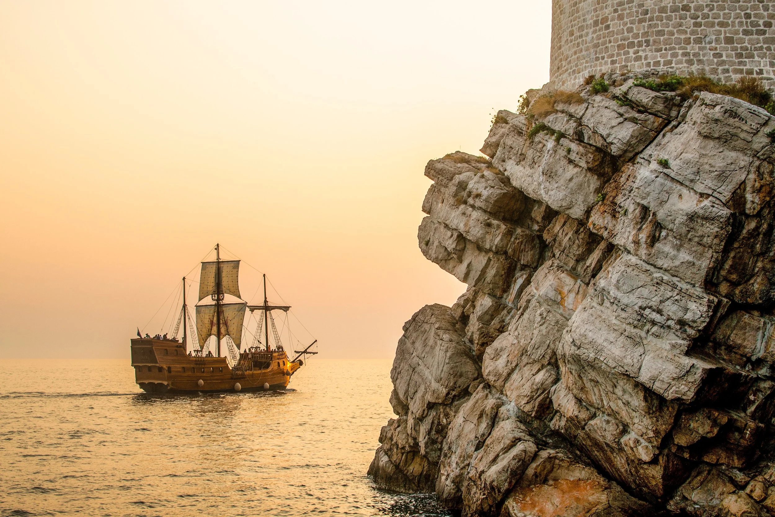
Photo by Hector John Periquin on Unsplash
One of my favorite assignments I’ve supported is one about pirates. Yes, pirates. Pirates in the 13th and 14th centuries, to be exact. This project hits on so many of my favorite pedagogical goals.
Brief description: the class is on piracy in the Mediterranean in the early modern era, 500 - 1800. Students learn about the cross-cultural interactions, the economic impacts of trade, global connections and identity. They learn how the Mediterranean was a global highway; how urban/rural areas interacted, and how different classes of people lived and interacted. A fascinating point I had not considered is that piracy evolved into war.
The project: in most historical time periods, there is much more known about the rich people than the poor. This is definitely the case when studying this era and pirates. There is much more known about the merchants: those who owned the ships and who owned the goods. The sailors and pirates, those on the ships, are anonymous and much less is known about their lives. So, for this project, the professor has students create a fictional pirate. They create a story about this pirate and write a tale about their lives. ArcGIS StoryMaps are used to tell the story, requiring the use of visuals and maps.
Students build this story based on what they learned throughout the semester. They apply historical thinking skills, content knowledge and geographic awareness to their story. Students utilize appropriate visuals, including paintings and objects. Students can use contemporary visuals, providing modern features are mostly not apparent. A couple of creative students have created their own art for this part.
Maps are essential to the project. The geography of the region played an integral role in the life of merchants and pirates. Students use the ArcGIS StoryMaps Express Map tool to create their maps. Because the Express Maps are quite simple to teach and use, we use that instead of teaching ArcGIS Online. This is not a GIS course, but one to reinforce the geography and importance of place to the topic. Students need to consider the space/place/geography when making decisions. Students create maps about where the pirates lived, the routes taken for trade (based on what they learned in the class), and where the raids occurred.
Feedback: the feedback from students has mostly been incredibly positive. Many students mentioned how much fun the project was and how they really appreciated the opportunity to be creative. Some mentioned how studying history can get routine with writing papers all the time. This assignment was something much different, and for the most part, quite enjoyable.
In terms of impact on historical thinking skills, the professor has said that it is clear in their stories that they are using the skills learned in the semester. The stories reflect the content learned, and that students demonstrate that they have learned how the content learned in the semester can be applied elsewhere.
The technology was difficult for some students, but most found it relatively intuitive, or they could figure it out. One student switched to a paper out of frustration with the technology, but that was all.
Final thoughts
This really is one of my favorite projects using StoryMaps. It gets at:
historical thinking skills,
applying content knowledge in another way,
using primary sources,
using images and visuals
deep exploration of geography
learning a new tool
writing in a non-academic format and tone
creativity!
I am hoping we can take this model to other courses.